The PFAS Statewide Interactive Sampling Map Link to heading
This map was originally created as part of Liddie et al., 2023 but has since been updated to contain additional PFAS sampling data. It visualizes PFAS sampling data, census data, and PFAS sources across several states in the U.S.
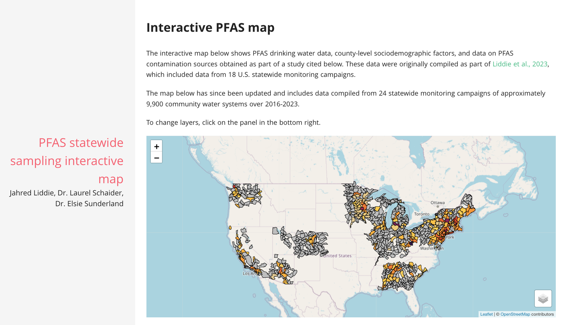
The PFAS statewide sampling interactive map
TidyTuesday Link to heading
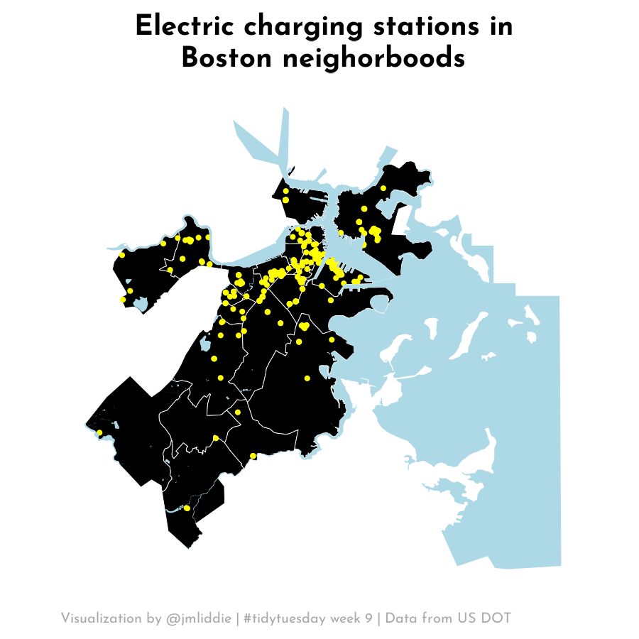
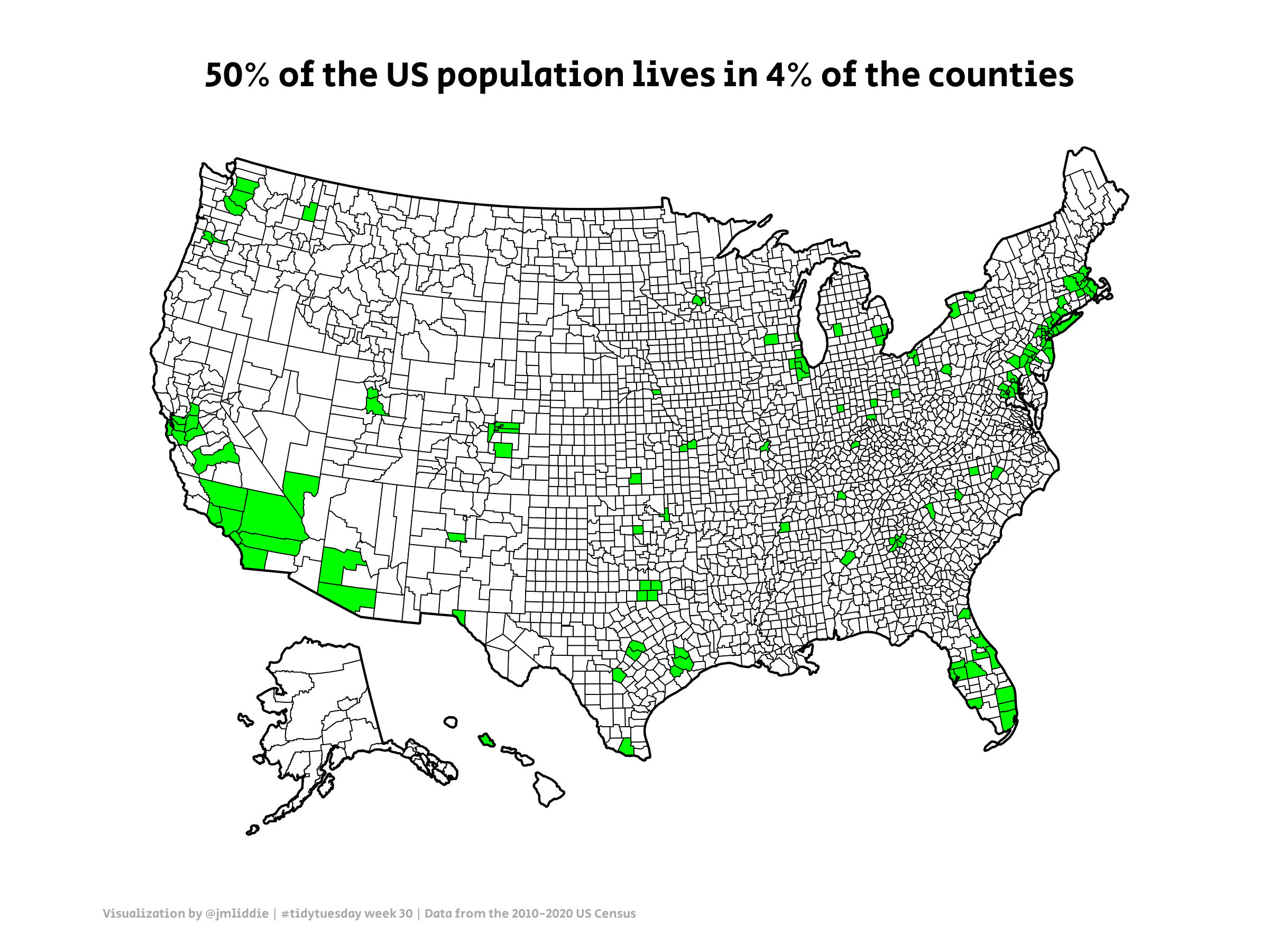
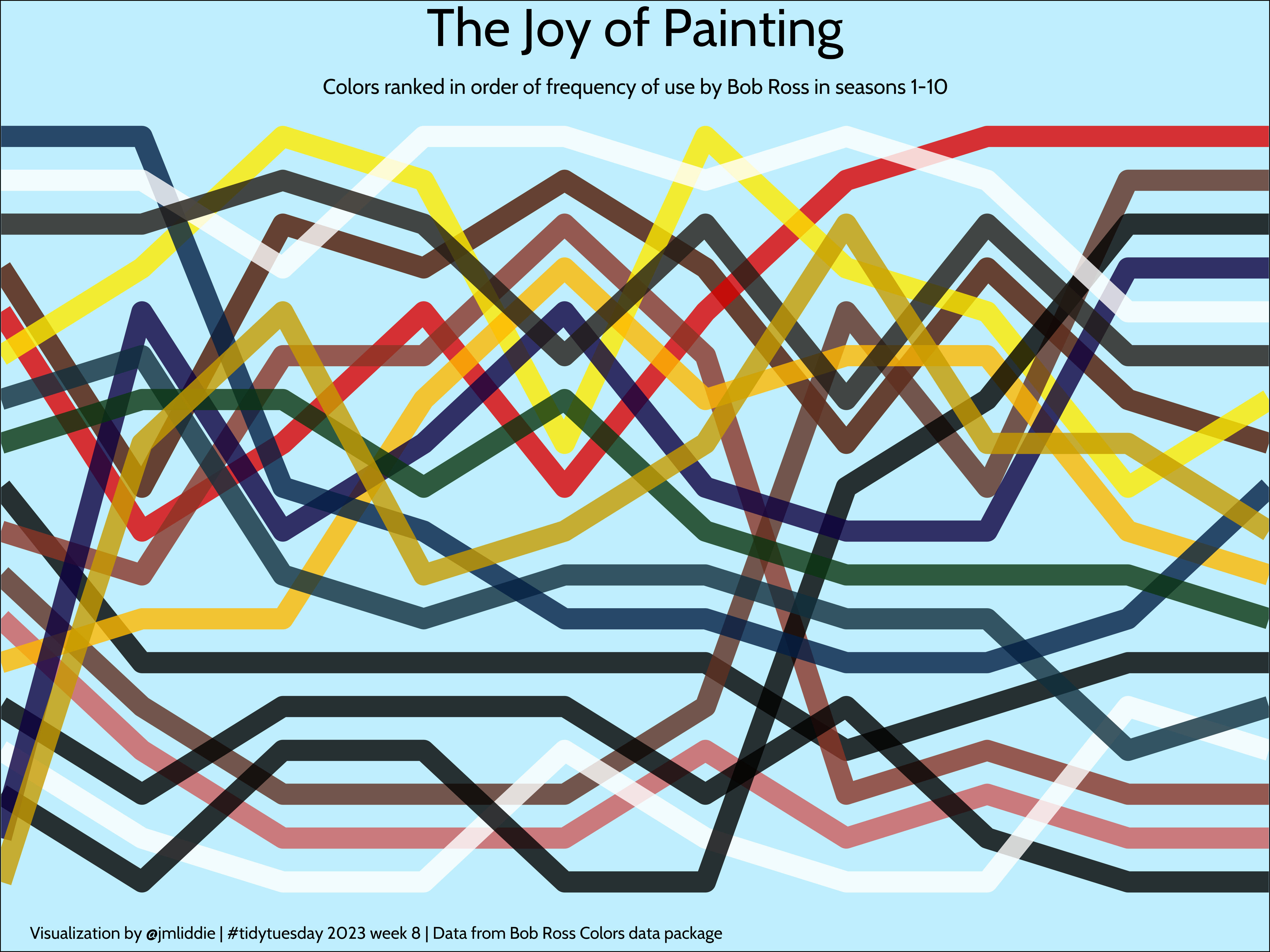
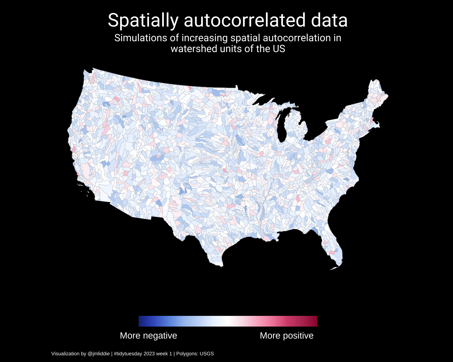
The visualizations that you can scroll through here were created as part of TidyTuesday, a weekly social data project.
You can view more of my data visualizations here.